 by darran » Mon Nov 29, 2010 2:09 pm
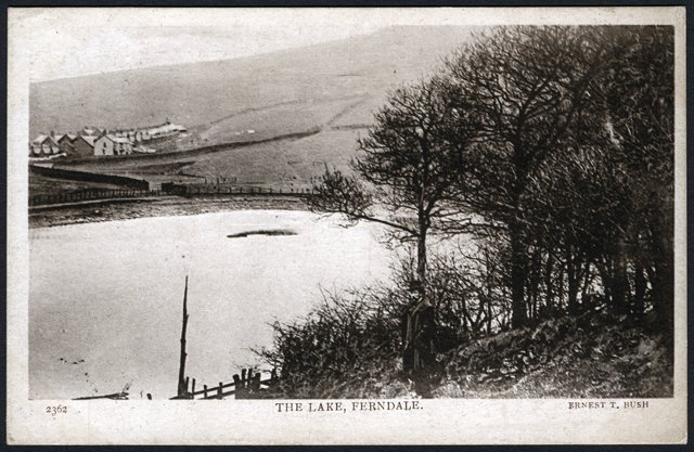
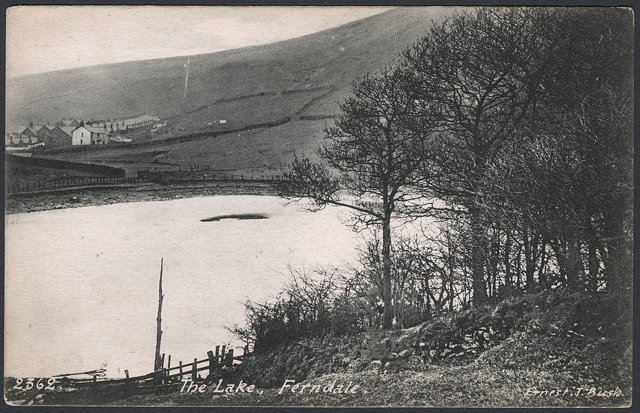
You can see where the man has been removed!
This photo was taken between 1901 and 1910 as Llyn Crescent has not yet been built but it is on the 1911 census, and Darran Terrace on the census is only as the photo shows - the sloping part up to No. 23 with the level part from 24 to 45 not yet completed and so not on the census. On the 1901 census there is no Darran Terrace. In fact these streets together with Tudor Street were possibly the last ones built during the coal mining time. The wall right next to the houses in the distance is the boundary between the 2 farms on this side of the valley - Dyffryn and Rhondda Fechan and it followed a stream - an ideal natural boundary - which is why the road down to the main road is called Brook St.
Sheila


